
See the site. Understand the work.
Examples of earthwork models and field measurements I produced. The visualizations help reveal grading conditions, material movement, and the questions that need to be answered before an estimate or field decision is useful.
Make grade changes visible.
A 3D view can make the relationship between pads, slopes, and surrounding ground immediately clear. I build and review these models to support quantity analysis and practical earthwork planning.
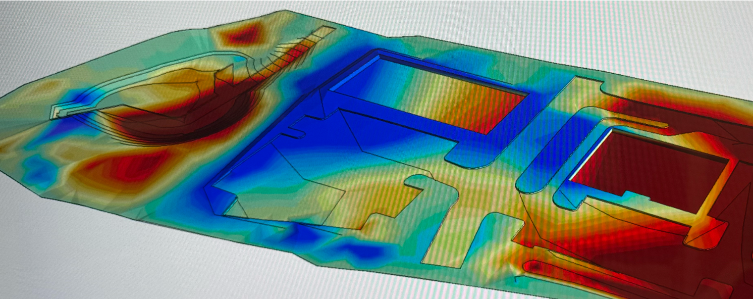
Grading across a multi-pad site
A close view of the modeled ground, with the surrounding grade relationships visible without software controls.
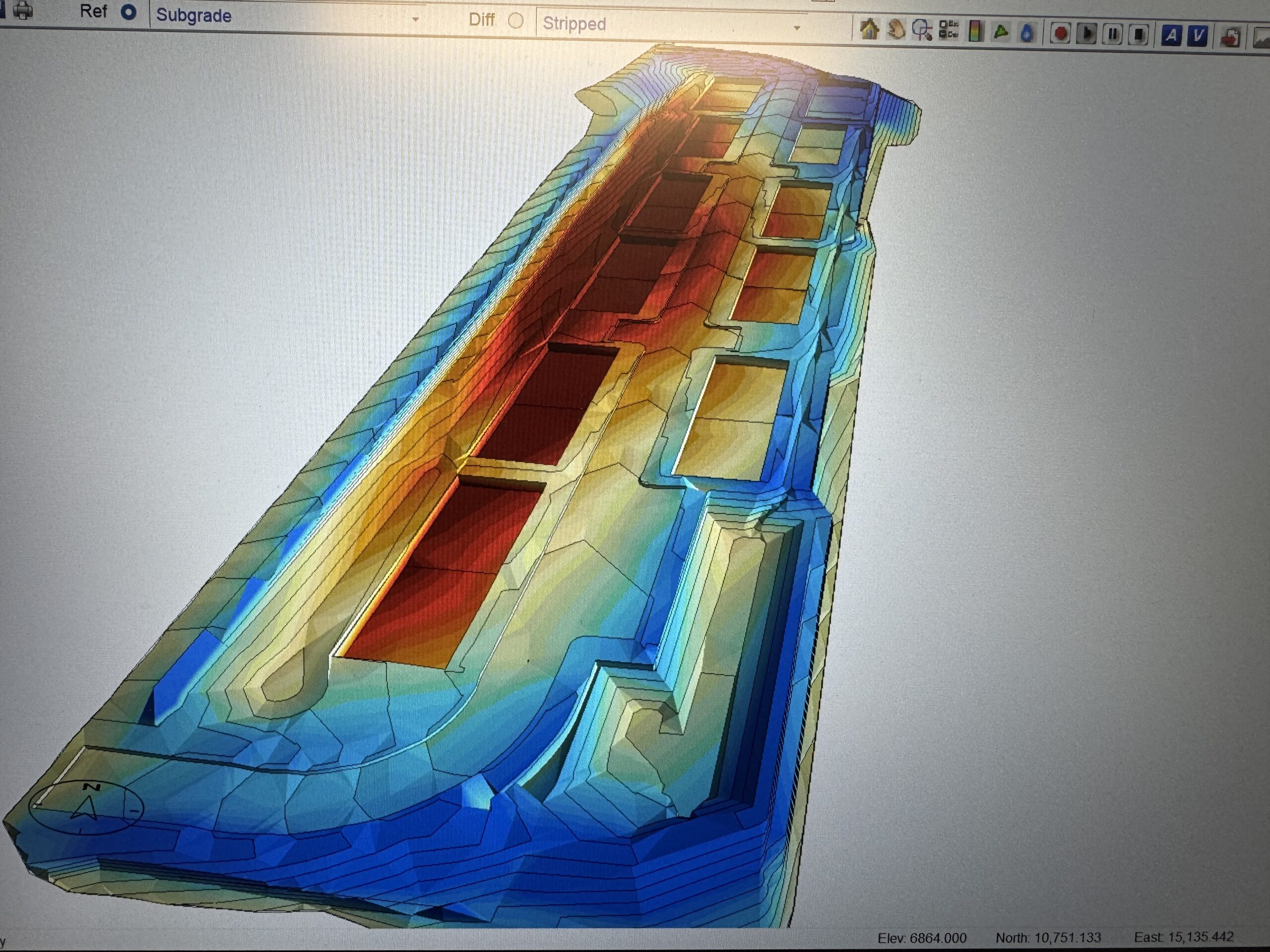
Pad and slope relationships
Perspective makes transitions around the building areas easier to inspect.
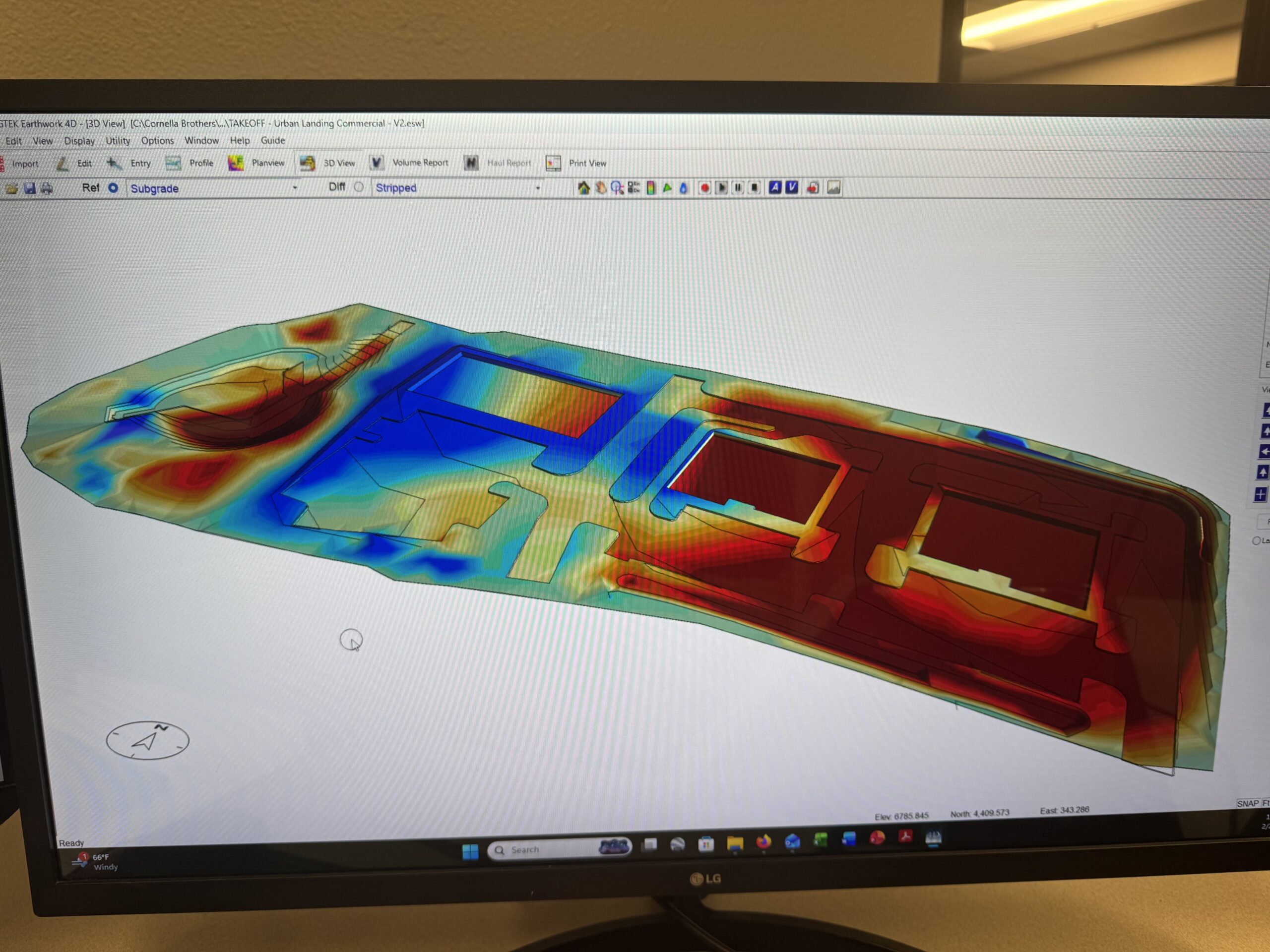
Earthwork across the site
A wider view of modeled grading conditions across the footprint.
See the ground around the work.
Aerial photography can document current site conditions and show how a work area connects to roads, adjacent development, and surrounding terrain. This view was captured in the Flying Horse area of Colorado Springs.
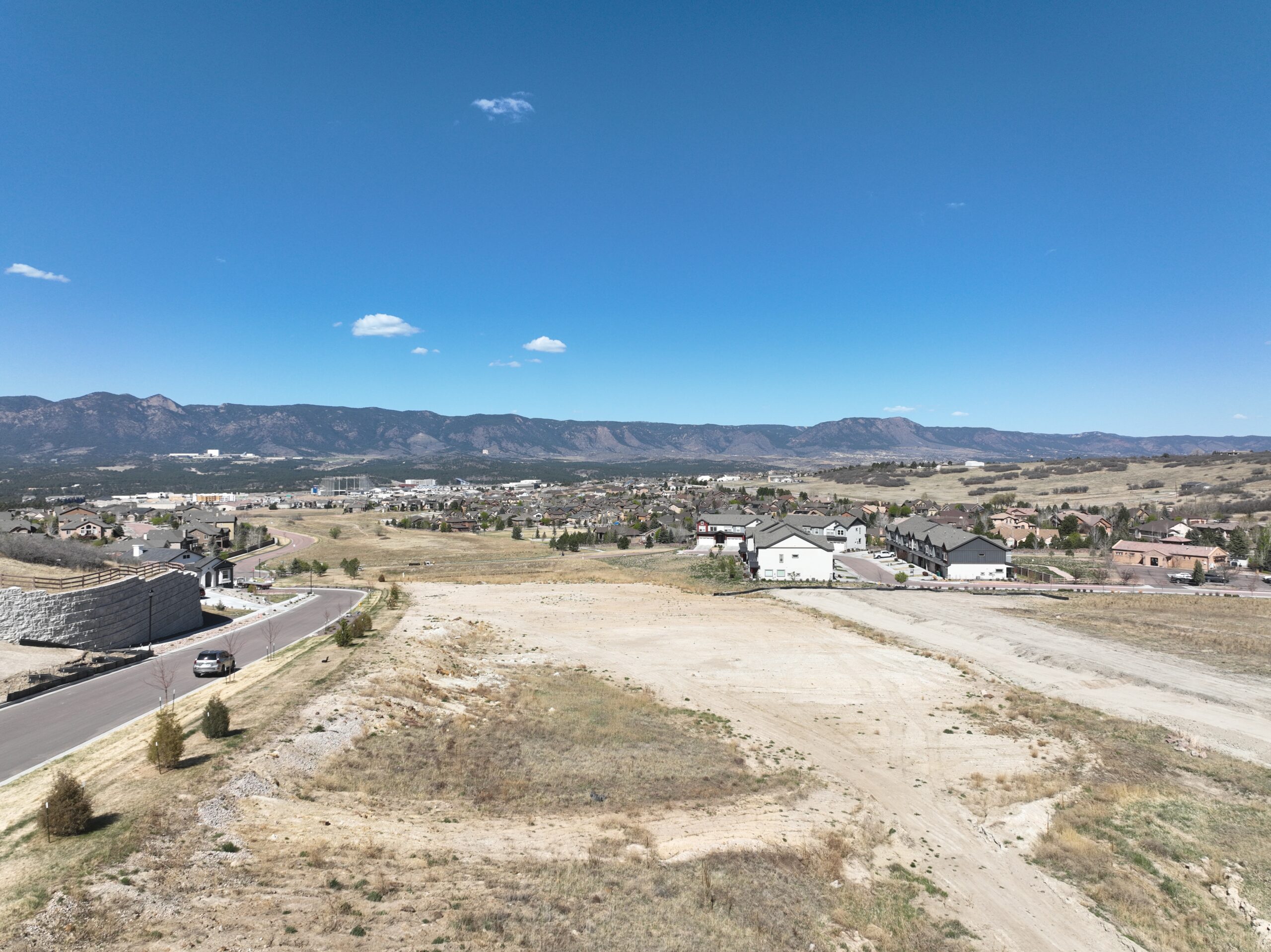
Site context from above
A current visual record of the area and its surrounding development. Aerial imagery supports site communication; it is not presented here as survey-grade mapping.
Read the full footprint.
Plan views show where conditions change across a site. I use these views with plans and scope assumptions to develop quantities and make the estimate easier to review.
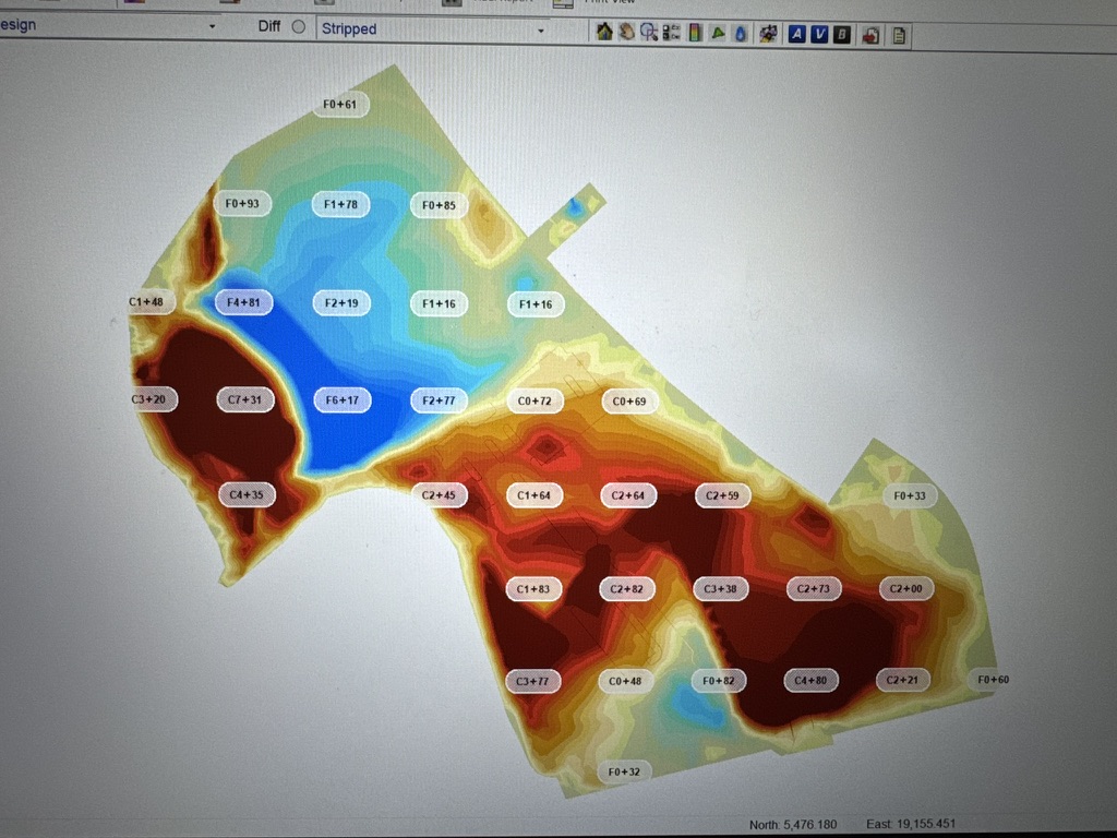
Grade variation
A visual read of how conditions vary across an irregular footprint.
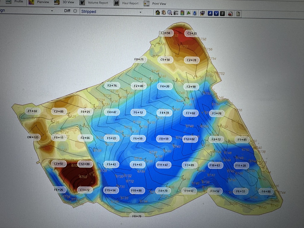
Contour context
Modeled differences viewed alongside the site contours.
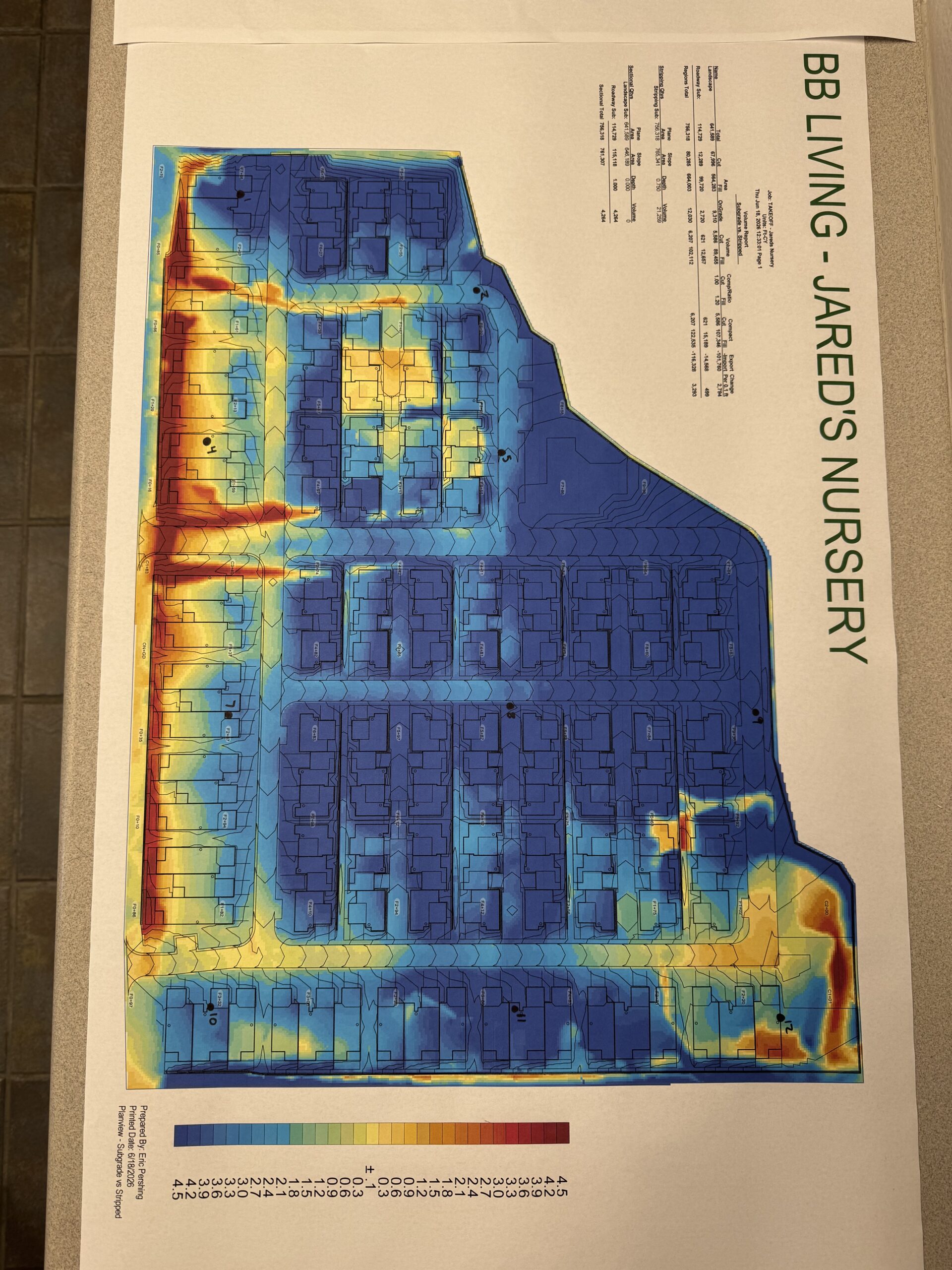
A model made discussable
A visual output prepared for review beyond the software screen.
These are examples of modeling work. They are not survey or engineering design deliverables.
Work with the shape on the ground.
Material piles and irregular areas call for more than a simple length and width. I capture perimeter and elevation information, then review the result against the question the measurement needs to answer.
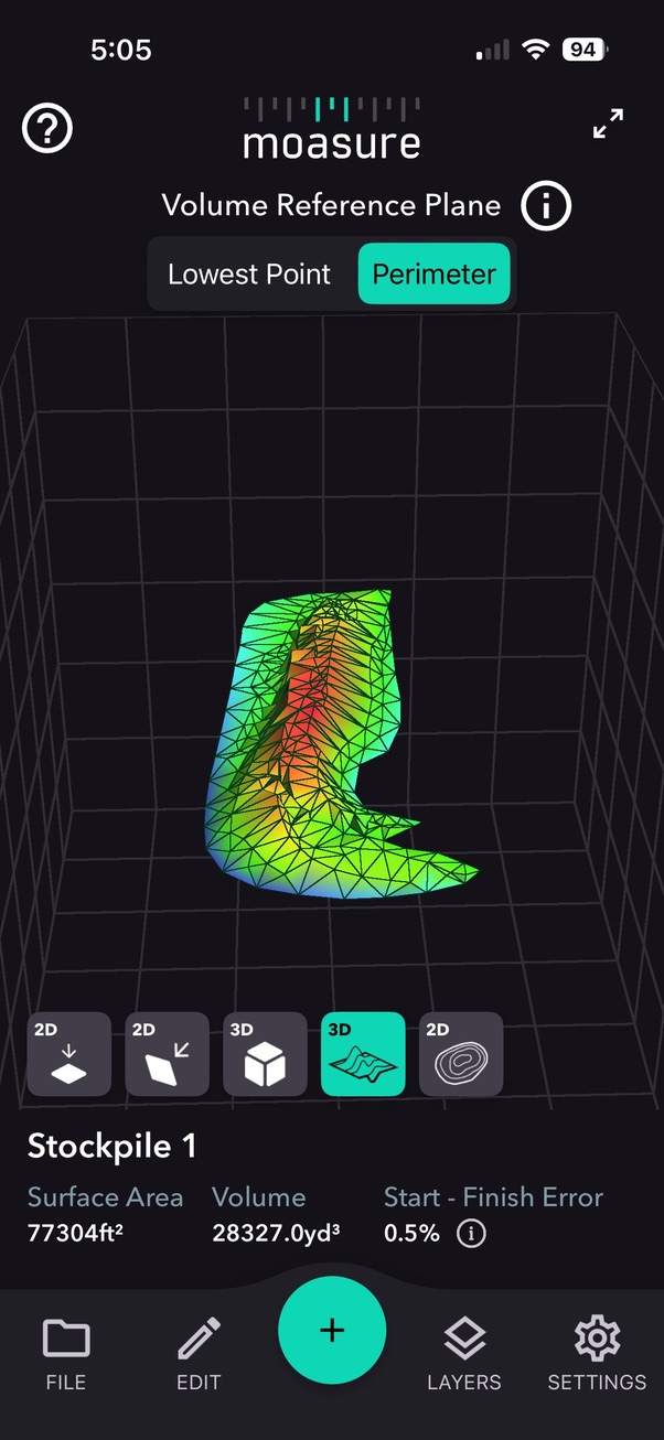
Stockpile surface
Measured points form a three-dimensional view of an irregular material pile.
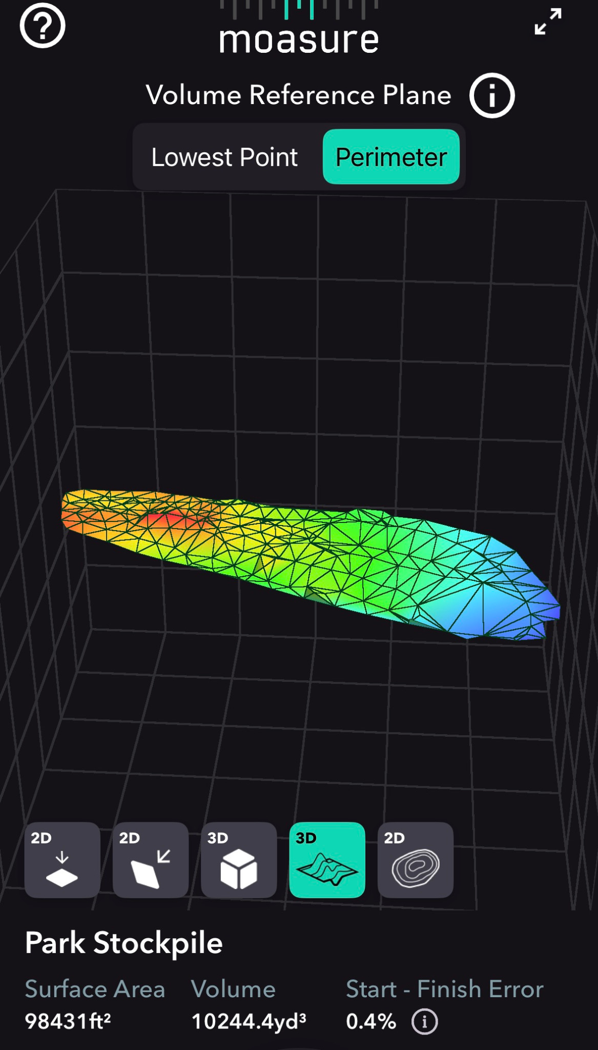
Irregular material area
A second field capture showing a different footprint and surface shape.
Field volume depends on the measurement path, reference plane, conditions, and needed accuracy. A defined survey requirement calls for a survey workflow.
Start with the decision you need to make.
Tell me whether you need a model, a quantity, a field measurement, or help interpreting the scope. I’ll define the method and deliverable around the project rather than sending a generic report.
- Earthwork models and quantity analysis
- Cut and fill review
- Stockpile and irregular area measurement
- Scope and estimate support
What do you need measured or modeled?
Describe the site, the decision you need to make, and your timeline. I’ll reply with the next step and an appropriate scope.
Discuss a Project